Geophysics, Tectonics and Solid Earth Processes
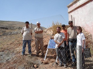
Faculty in this area use a wide variety of techniques from geology and geophysics to study the physical structure and processes of the earth at a variety of time and spatial scales. Our students work both in the field and in the computer lab on projects located all over the world.
Areas of interest include:
Earthquake Processes
We use techniques from geophysics and field geology to study earthquake processes. Areas of interest include earthquake triggering, earthquake nucleation, and earthquake hazard forecasting.
One focused area is the studies of the recently discovered phenomenon of slow earthquakes (also called slow slip events). These slow slip events cause no damage and relieve stress on faults where they occur, decreasing the chance of large earthquake rupture. However, they increase stress on adjacent parts of the fault, encouraging earthquakes there. Current research is aimed at understanding the mechanics of slow slip events and quantifying how slow slip events change earthquake probabilities in multiple subduction zones.
Another focused area is intraplate earthquakes – earthquakes that occur in the interior of tectonic plates, their spatiotemporal patterns do not fit into the physical models based on plate boundary seismicity, and their causes remains speculative.
Earth Structure
We use seismic imaging techniques to study the structure of the crust and upper mantle in a variety of areas. These structural models allow us to study the tectonic processes of these regions.
Active Tectonics
We combine geodetic measurements and modeling techniques to study how the crust is actively deforming today. We analyze strain partitioning and fault slip rates, and study the stress evolution associated with earthquake cycles.
Tectonics and Structural Geology
We integrate geological and geophysical studies with numerical modeling to understand continental tectonics in many parts of the world. Active projects including research of mountain building in the Himalayan-Tibetan Plateau, the Andes, the North American Cordillera, and the Zagros Mountains, and basin formation in China, North America, and South America.
Geohazards
Much of the work we do can be applied to geohazards. The techniques we use result in models that inform hazard forecasts and analysis for landslides, earthquakes, and volcanic eruptions.
Computational Geophysics
Computational resources include an 320-core PC cluster in our geophysical computer lab and a campus level high-performance computing cluster, as well as a variety of geophysical and geological software packages. We use these resources to model earth processes and invert geophysical data to study the underlying processes in detail.